


At Site Assessors Nationwide, LLC, we provide expert commercial and residential inspections across the US. Our team of experienced professionals offers a range of services, from property inspections to environmental assessments. Let us help you make the most informed decisions for your business needs.
North Carolina, South Carolina, Virginia, PA and Ohio

Drone Services
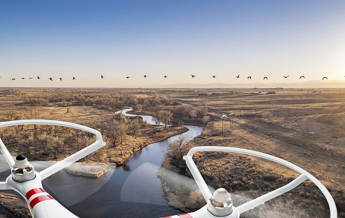

Essentially, a drone is a flying robot that can be remotely controlled and can capture footage from unreachable areas such as rooftops, aerials, Facades, and more! Under FAA CFR 14 part 107, only certified unmanned pilots can perform commercial drone inspections.
Our
Services
Aerial Photography
Imagery and video footage taken from the air. Often used for:
- Real Estate Property
- Facade inspections
- Insurance & Utilities
- Solar PV Inspection
- Media & Marketing
- Commercial Real Estate
- Public Safety & Security
- Transportation & Railroad
- Roof Inspections
- Precision Agriculture
- Cinematography
Property Condition (PCA)
During a Property Condition Assessment, we can provide footage from inaccessible areas.
Infrared Imaging
Infrared (IR) imaging technology is used to measure the temperature of an object. All objects emit electromagnetic radiation, primarily in the IR wavelength, which cannot be seen by the naked eye. Often used for:
- Detecting moisture in a building
- Cracked foundation
Phase 1 Environmental Assessments (ESA)
Footage during Environmental Site Assessments for inaccessible areas.